


Monday to Friday
9am - 12.30pm - 2pm - 7pm
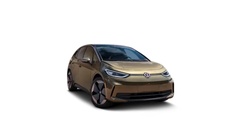
1- Optimised route planning for electric vehicles
Integrating charging stations into routes
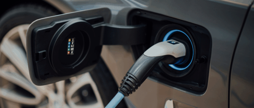
For drivers of electric vehicles, Google Maps has integrated charging stations directly into their itineraries. This innovation makes it much easier to plan long journeys, allowing electric car drivers to travel with complete peace of mind.
The number of public charging stations around the world has soared (around 1.3 million in 2022), and this figure continues to grow rapidly. Google Maps uses this data to provide optimised itineraries that include stops at charging stations en route.
Previously, electric vehicle drivers had to use several applications to plan their journeys, check the availability of charging stations and estimate their energy consumption. Now, all this information is centralised in a single application. By integrating charging stations into itineraries, Google Maps makes it possible to view and select the best charging options according to their route and level of energy consumption. battery current.
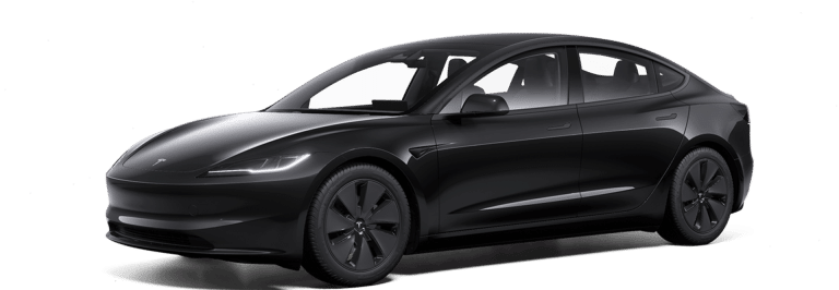
Let's take the example of a Tesla who is planning a trip from Paris to Lyon. Using the app, they can plan their itinerary, including stops at recharging stations. Tesla Supercharger strategically located along the road. Google Maps will show not only the location of the stations, but also detailed information such as the real-time availability of charging points, the types of connectors available and the opinions of other users.
Thanks to the integration of charging stations into itineraries, Google Maps offers a complete and practical solution for electric vehicle drivers, turning every journey into a hassle-free experience. This innovation makes electric vehicles more accessible and convenient, encouraging their widespread adoption.
Calculating energy consumption for the route
One of the major advances in Google Maps for electric vehicle drivers is the functionality for calculating energy consumption for routes. This new feature allows users to accurately predict their electric car recharge consumption based on their planned journey, optimising their driving experience.
Forecasting energy consumption
Google Maps uses advanced algorithms to estimate energy consumption, taking into account various factors such as :
- the total distance,
- altitude,
- real-time traffic conditions,
- the vehicle's technical specifications.
For example, a 200 km journey on flat ground will require less energy than an equivalent journey with many climbs.
According to a report from International Council on Clean Transportation (ICCT), the average fuel consumption of an electric vehicle varies from between 15 and 20 kWh per 100 km. Using this data, Google Maps can provide accurate estimates to help drivers plan their recharges.
Let's imagine a Renault Megane E-TechThe car's fuel consumption is based on a trip from Lyon to Grenoble, i.e. around 110 km with a moderate gradient. The average consumption of this car is around 17 kWh per 100 km. Google Maps could estimate that this journey will require around 18.7 kWh of energy (110 km x 17 kWh/100 km = 18.7 kWh).
For a more complex journey, for example from Marseille to Nice, Google Maps will take into account variations in altitude and traffic conditions. Such a journey, of around 200 km with significant uphill gradients, could consume around 34 kWh, taking into account the increased consumption on uphill gradients and the regenerative braking downhill.
Optimising recharging
Thanks to this feature, drivers can better plan their recharging stops. If a planned journey exceeds theautonomy of the car, Google Maps will suggest optimal recharging stations based on estimated consumption. For a 400 km journey with a Tesla Model 3 (range of 400 km at 15 kWh/100 km), the application will recommend strategic stops to ensure sufficient recharging.
By accurately calculating energy consumption for routes, it is transforming the way electric vehicle drivers plan their journeys, making every journey more predictable and safer.
2- Searching and navigating to charging stations
Location of electric car recharging stations
Google Maps has significantly improved its search functionality to help electric vehicle drivers quickly locate nearby charging stations.
Thanks to the database, drivers can easily find charging stations for their electric vehicles. Google Maps integrates this information to provide accurate and up-to-date results. Users can search for charging stations simply by entering terms such as "electric car charging station or "electric car charging in the search bar.
Google Maps provides real-time information on charging stations, including :
- the availability of terminals,
- the type of connectors available,
- recharge power,
- the opinions of other users.
What additional features are available?
Google Maps not only locates charging stations, but also offers additional features such as the ability to filter results according to connector type or charging power. This customisation allows users to find exactly what they need, whether they're looking for fast DC charging or slower DC charging. alternating current (AC).
Detailed information on recharging stations
Google Maps now informs drivers about the types of connector available at each charging station. Commonly used connectors include Type 2 for in-vehicle charging. alternating current (AC)the CCS (combined charging system) for fast recharging in direct current (DC)and the CHAdeMOused mainly by Asian vehicles for fast DC charging.
The number of terminals available
The number of charging points available at each station is crucial information for electric car drivers. Google Maps displays this information to help users avoid long waits and plan their charging stops more efficiently. A charging station with 10 available charging points is more likely to have a free charging point than one with only 2.
| Ville | Nombre de Stations de Recharge | Nombre Moyen de Bornes par Station | Types de Connecteurs Disponibles |
|---|---|---|---|
|
Paris
|
800
|
6
|
Type 2, CCS, CHAdeMO
|
|
Lyon
|
400
|
4
|
Type 2, CCS
|
|
Marseille
|
350
|
5
|
Type 2, CHAdeMO
|
|
Toulouse
|
300
|
3
|
Type 2, CCS, CHAdeMO
|
|
Bordeaux
|
250
|
4
|
Type 2, CCS
|
Users' opinions
User reviews are integrated into Google Maps to provide information about the reliability and performance of charging stations. Drivers can consult other users' ratings and comments on charging speed, availability and the condition of charging stations. For example, a charging station in Paris with an average rating of 4.5 stars and positive comments on speed of service is more reliable than a station with a lower rating and comments indicating frequent breakdowns.
3 - Managing electric vehicle consumption
Real-time monitoring of energy consumption
Google Maps navigation now includes real-time tracking tools that allow electric car drivers to monitor energy consumption during their journeys. These tools take various factors into account to provide data on energy consumption based on :
- speed,
- the type of terrain,
- traffic conditions.
Drivers can use the information provided by Google Maps to adjust their driving style in real time. For example, by reducing their speed on the motorway or adopting a gentler driving style in town, they can significantly extend their vehicle's range.
As well as optimising range, real-time tracking also enables more accurate forecasting of recharging requirements. If Google Maps detects that energy consumption is higher than expected due to difficult traffic conditions or climbs, it can suggest additional recharging stops along the way. This helps to avoid low battery situations and to plan recharges efficiently.
Proactive recharge alerts
Google Maps is now introducing a proactive charging alerts feature to help drivers effectively manage their energy consumption. This feature sends notifications when battery levels become critical, suggesting the nearest charging stations based on consumption and planned route.
How do they work?
When the system detects that the battery is reaching a critical threshold, it sends a notification to the driver with suggestions for nearby recharging stations. By 2023, around 30% of EV users in Europe will report using apps with similar functionality to manage their recharging, which just goes to show the value of adding this feature to the app.
What's more, Google Maps suggestions don't just show the nearest stations. They also take into account the vehicle's energy consumption, real-time traffic conditions and the planned route to suggest the most relevant options.
Let's take the example of a driver of a Hyundai IONIQ 5 travelling from Lyon to Grenoble, a distance of around 110 km. If the battery falls below 15 % of remaining capacity, the application could send him an alert indicating the fast-charging stations available in Bourgoin-Jallieu, located halfway along the route. This suggestion would be based on the current level of consumption, traffic conditions and the location of the most convenient stations. Proactive charging alerts offer a number of advantages:
- drivers avoid the stress of searching for a charging station in a hurry,
- The application helps to minimise detours and plan refills more efficiently,
- they contribute to safer driving by ensuring that drivers are always aware of their battery level.
In a few figures, proactive charging and intelligent energy management can improve the overall efficiency of electric vehicles by 10 to 15 %. What's more, the use of these technologies is on the rise, with estimated growth of 25 % per year in terms of adoption by electric car users.
Conclusion
The new features for electric vehicle drivers make journey planning and charging management easier and more reliable. With electric vehicle adoption growing by 40 % per year globally, these tools are essential for hassle-free driving. With advanced integrations, real-time information and proactive alerts, Google Maps responds effectively to the needs of EV drivers, contributing to an optimised and worry-free driving experience.